
Trail, South Kootenay
South Kootenay
The South Kootenay region stretches from Christina Lake in the south west to Salmo in the east and north to Castlegar. Highway 3, known as the Crowsnest Hwy, travels east-west through the region and has two spurs, Highway 3A from Trail through Castlegar and beyond and Highway 3B that joins Highway 3 to Rossland and on to Trail.
Christina Lake
Christina Lake is located 72 km (45 mi) west of Castlegar and 25 km (15.5 mi) east of Grand Forks in the Thompson Okanagan region’s Boundary Country. It is one of the most sought-after family vacation destinations in Western Canada. Christina Lake offers some of the best summer weather, a warm sandy swimming lake and an all-season playground. The earliest inhabitants in this area were the Kootenai Indians, more than 2,000 years ago. Today their pictographs can be found in Texas Point Provincial Park on the eastern shore. 19 km (11 mi) long Christina Lake draws people from all over the region to swim and fish for rainbow trout, bass and kokanee. The outdoor enthusiast can enjoy any number of pastimes including golfing, fishing, boating, river kayaking, snowmobiling, cross-country skiing and more.
Gladstone Park is located approximately 20 km (12 mi) northeast of Grand Forks on Highway 3 at the north end of Christina Lake. The Monashee Mountains surround the lake and it is a perfect backdrop for a variety of water-oriented recreational activities. Fishing for kokanee, rainbow trout and small-mouth bass is popular.
Rossland & the Monashee Mountains
Heading east from Christina Lake on Highway 3 towards Castlegar and the turn off for Rossland, is Nancy Greene Park. This 203-hectare park lies within the Monashee Mountains and its primary focus is a sub-alpine lake that can only be found in one other protected area.
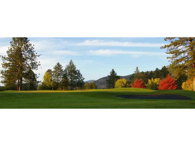
South from Nancy Greene Park on Highway 3B you will arrive at the community of Rossland. Rossland is located on the treed slopes of an extinct volcanic crater of the Monashee Mountains. Its origins and nickname “Golden City” dates back to the discovery of gold on Red Mountain. A prospector, Joe Morris in 1890 staked five claims on Red Mountain. The richest claim became the Le Roi mine that was sold in 1898 for just over $3 million to the British American Corporation. Between the years 1901 and 1916, 50% of the entire gold production of British Columbia came from the mines on Red Mountain. Skiing here also goes back a long way with the Canadian Ski Championships being held in Rossland for the first twenty years, from 1888. Red Mountain Resort has some of the best powder skiing around and in the summer it is known as the Mountain Biking Capital of Canada. Add in hiking trails, alpine golf courses plus culture and the arts and Rossland is a great travel destination.
Trail & the Italian Influence
A further 10 km (6 mi) along Highway 3B, located on both sides of the Columbia River, is the town of Trail. Trail was founded in the 1890s when a small smelter was constructed on a bench above the Columbia River to serve the rich mines of Rossland. This smelter evolved to what is now known as Teck Cominco, a successful worldwide mining company. Trail became home to a large number of Italian immigrants who worked here as stonemasons between 1920 and 1960. The city’s distinctive Italian character is in evidence today and can be seen by taking a walking tour of Trail’s historic rock walls built to support European-style streets that take their name from the Italian influence such as Tortellini Trek and the Lasagna Loop. The ‘Home of Champions’ monument in downtown Trail recognizes the importance Trail places on excellence in sport. A visit to The Sports Hall of Fame located in the Trail Memorial Centre for a look at some memorabilia from the famous Trail Smoke Eaters hockey club is a must.
Fruitvale – Heart of the Beaver Valley
Fruitvale is located 15 km (9 mi) east of Trail on Highway 3B with Champion Lakes Provincial Park close by heading towards Salmo. It has three large lakes nestled in the Bonnington Range. There are 6.5 km (14 mi) of multi-use trails linking the lakes together. The 3rd lake with its two day-use areas is known for warm water and is popular with the locals.
The Russian Influence of Castlegar
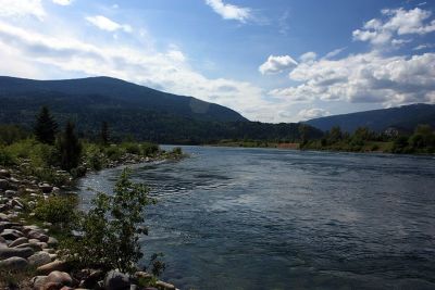
North of Trail on Highway 3A is the town of Castlegar located at the confluence of the Kootenay and Columbia Rivers. In 1908, a pacifist group of Russian immigrants called the Doukhobors settled on the east bank of the Columbia River, establishing one of the more successful communal enterprises in North America. This strong Russian influence is still very much in evidence today as seen in such fascinating attractions as the Doukhobor Museum, Zuckerberg Island and the Castlegar Rail Station, which has been converted to a museum. Castlegar today reflects a vibrant mix of commerce, industry and recreation.
19 km (11 mi) northwest of Castlegar on Highway 3A is Syringa Provincial Park. Located near the southeast end of the Lower Arrow Lake, it is part of the Columbia River that was widened and deepened with the construction of the Hugh Keenleyside Dam at Castlegar. The park protects not only provincially significant interior Douglas-fir forests but also preserves one of the few remaining examples of grassland ecosystems in the Kootenays. A variety of wildlife are at home in the park including, elk, deer and a herd of rocky mountain bighorn sheep that can often be observed grazing on the many rock bluffs.

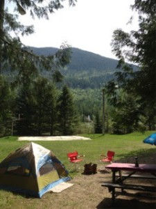
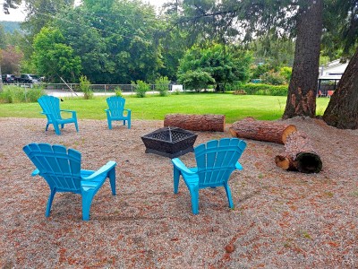
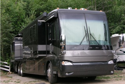
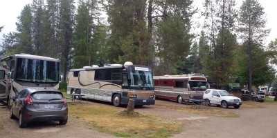
South Kootenay and Nearby Accommodations
British Columbia Lodging and Campgrounds Association Members
List
Map
7 Listings